
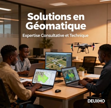
L’innovation au service de
Expertise | Précision | Qualité
Notre mission :
Apporter des solutions géospatiales fiables, accessibles et à forte valeur ajoutée pour faciliter la prise de décision, optimiser la gestion des territoires, et accompagner le développement durable en Afrique.
la géomatique et de la cartographie en Afrique
Nous transformons vos données géographiques en solutions stratégiques pour éclairer vos décisions et relever les défis complexes de l'aménagement des territoires, de l'environnement et du developpement.
Vous êtes une collectivité, une ONG, une entreprise, un chercheur ou un étudiant ?
Contactez-nous dès aujourd’hui pour donner vie à vos projets cartographiques et géospatiaux ! N'hésitez pas à nous contacter par Whatsapp ou par mail, nous serons ravis d'accompagner.
Chez DEUXMO, nous accompagnons les organisations, collectivités locales, entreprises, étudiants, chercheurs et particuliers dans la valorisation des données spatiales, la cartographie professionnelle, et l’innovation en géomatique.
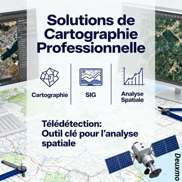
Nos solutions clés
Cartographie professionnelle
Conception de cartes thématiques sur mesure — interactives (web) et statiques (print) — appuyées sur vos données. Avec la télédétection et l’analyse spatiale, nous donnons vie à vos données et vous livrons des cartes prêtes pour la décision, la publication ou le grand format (académiques, institutions, entreprises).
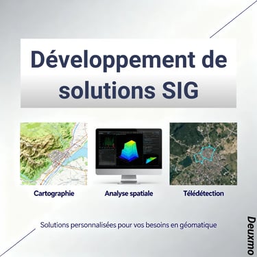
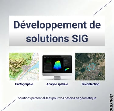
Développement de solutions SIG
Conception et mise en œuvre de SIG clé en main : modèles de données, PostGIS, services OGC (WMS/WFS), automatisation ETL, applications web et tableaux de bord. Intégration à vos systèmes, hébergement sécurisé et transfert de compétences.
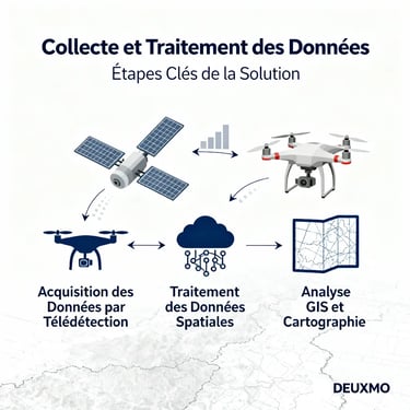
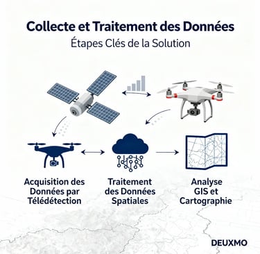
Collecte terrain & imagerie, contrôle qualité, nettoyage/normalisation, géocodage et enrichissement. Livrables prêts à l’emploi.
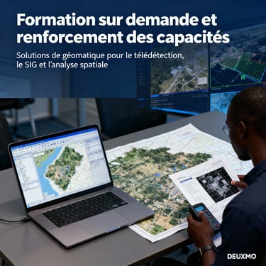
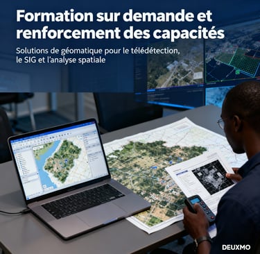
Ateliers et parcours sur mesure (QGIS, PostGIS, télédétection, webmapping) orientés projet : gestion de données, automatisation et tableaux de bord. En présentiel ou distanciel, avec supports, exercices et évaluation. Vous êtes étudiant, débutant ou professionnel. Nos solutions sont personnalisables et adaptées.
Audit et cadrage de vos projets géomatiques ; architectures SIG/SDI, choix d’outils (QGIS, PostGIS, webmapping), gouvernance des données et conformité OGC/ISO. Accompagnement opérationnel, optimisation des performances et transfert de compétences.Ateliers, sessions sur mesure et accompagnement à l’utilisation des outils SIG.
Collecte et traitement de données
Formation & renforcement de capacités
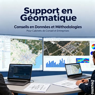
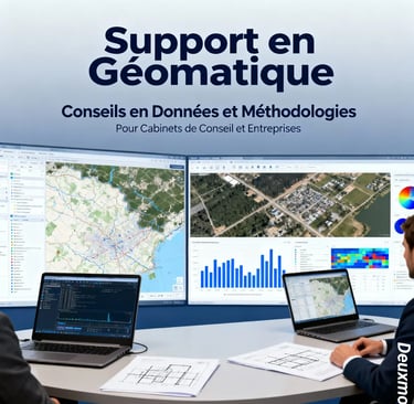
Conseil et expertise technique

Nos domaines d'intervention
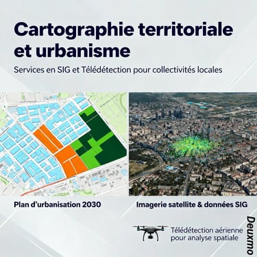
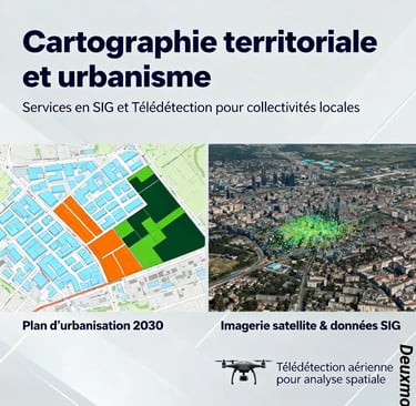
Collectivités territoriales et urbanisme
Vous êtes une mairie, un service technique et avez besoin de données, de cartographies, de conseils. DEUXMO est pour vous, n'hésitez pas, contactez-nous
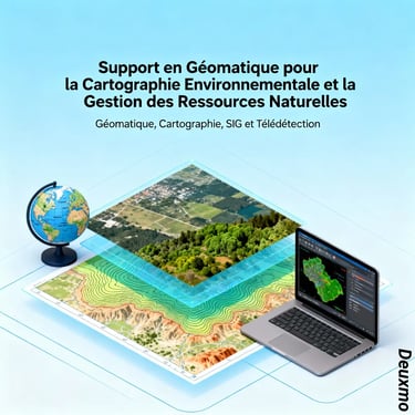
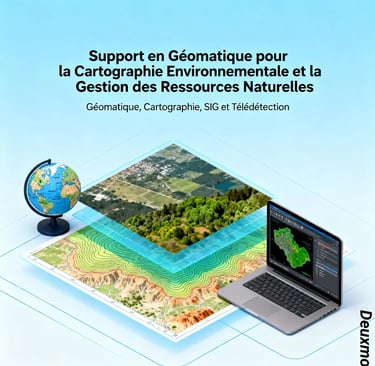
Environnement et ressources naturelles
Cartographie, collecte et analyse dans le domaine environnemental.
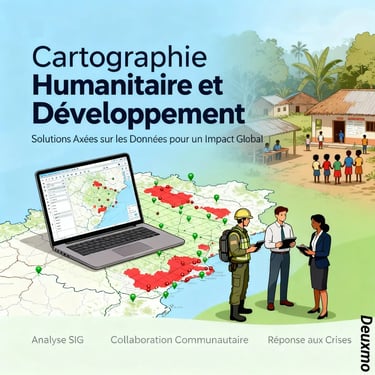
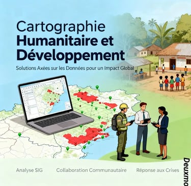
Humanitaire et développement
Accompagnement des ONGs et acteurs du développement dans la collecte et la cartographie de données en Afrique.
Vous êtes une organisation humanitaire ou de développement et désirez faire des campagnes de collecte de données et des cartographies au Cameroun, en Centrafrique, au Benin, en Côte d'Ivoire, au Niger, au Mali ou Burkina Faso. Nous pouvons vous accompagner dans toutes les étapes de votre projet.
Entreprises et bureaux d'études
Conseil, méthodologie, cartographie, consultance pour vos projets. Nous pouvons vous accompagner en tant que consultants pour différents types de projets avec des composantes de données géographiques ou géospatiaux.
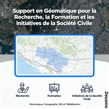
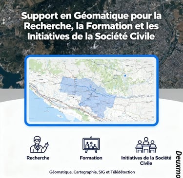
Recherche, éducation et société civile
Valorisation des travaux de recherche, support à la diffusion des résultats sur supports cartographiques.
Vous êtes étudiant, chercheur ou de la société civile et désirez montrer sur des supports cartographiques les résultats de vos travaux de recherches. N'hésitez pas, contactez nous.
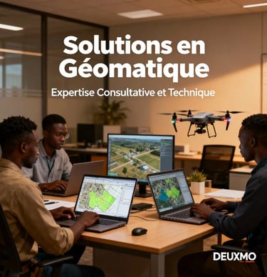
Notre groupe de professionnels spécialisés dans les différents domaines de la Géomatique vous accompagneront dans vos différents projets quelque soit le domaine. L'équipe basée au Cameroun et à l'international est constituée de passionnés ayant tous un peu plus de 10 ans d'expérience en géomatique, ayant travaillés sur plusieurs projets en Afrique en partenariats avec des ONGs, des collectivités territoriales, des entreprises privées ou des organisations de la société civile.
Nos initiatives
Dans cette section sont présentées les initiatives initiées par l'équipe ou toutes celles dans lesquelles l'un ou des membres de l'équipe sont impliqués.
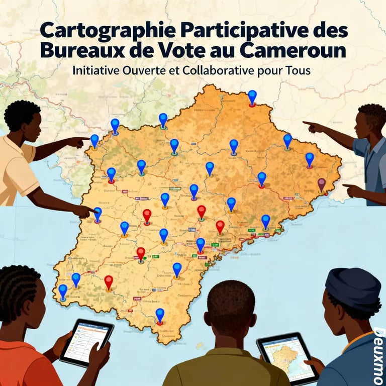
Cartographie participative des bureaux de vote au Cameroun
Cette plateforme, portée par DEUXMO, vise à recenser, localiser et rendre accessibles tous les bureaux de vote du Cameroun. Elle s’adresse aux citoyen·ne·s, journalistes, organisations de la société civile, partis politiques, institutions de recherche et administrations. Le projet est ouvert, contributif et conçu pour être utile à tous.
Cas d’usage
Chaque contributeur peut visualiser les bureaux de vote sur carte, filtrer par régions/départements/communes/localités, télécharger les données (CSV, Excel, Shapefile, GeoJSON), et suivre en direct l’avancement des contributions. À terme, après les élections, des tableaux de bord permettront d’explorer les résultats électoraux de manière assez originale.
Transparence :
Les données sont ouvertes en lecture et téléchargeables pour réutilisation.
• Questions clés : Combien de bureaux de vote au Cameroun ? Où se trouvent‑ils ? Comment accéder à ceux d’une commune donnée ?
• Gouvernance : un comité (géographes, cartographes, informaticiens…) valide les apports externes.
Conformité :
Les informations visent à être alignées sur les données officielles d’ELECAM lorsqu’elles sont publiques. Aucune donnée personnelle n’est collectée pour consulter, contribuer ou télécharger les données..
A propos de nous
DEUXMO est une entreprise des services géomatiques et d’expertises technique, spécialisée dans les domaines de l’édition cartographique professionnelle, la production de Géo-Informations et le développement d’outils de valorisation des données.
Contactez-nous pour discuter de vos projets :
Restez informes
Rue des Brasseries, Carrefour Fometa – Foto, Dschang, Cameroun
Tél./WhatsApp : (+237) 677 76 77 99 / 674 25 91 29
Email : deuxmo@deuxmo.org // contact@deuxmo.org
Twitter : @deuxmo_org
Facebook : DEUXMO
© DEUXMO 2025. Tous droits reservés