Projets de l'équipe
Venez nous partager vos idées de projets et travaillons ensembles avec notre équipe de bénévoles. Ci-dessous quelques projets que nous avons dans le pipeline ou menés
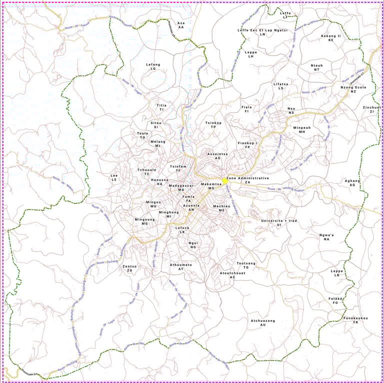
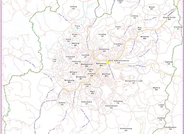
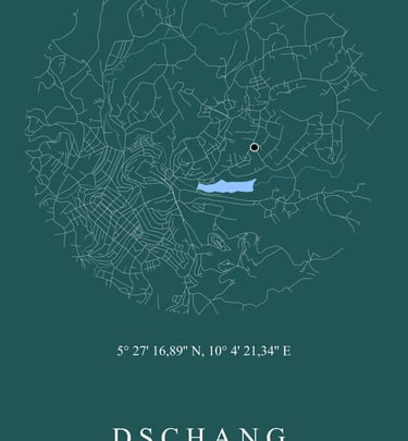
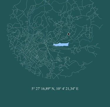
Projet d'adressage de la ville de Dschang, Ouest-Cameroun
Notre équipe travaille actuellement sur l'élaboration d'un plan d'adressage de la ville de Dschang (Région Ouest-Cameroun)
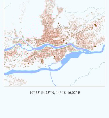
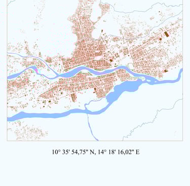
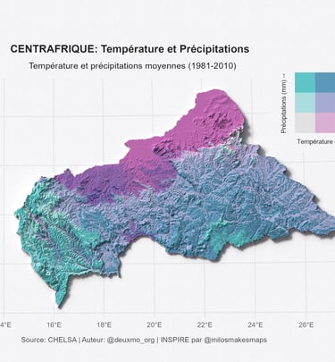
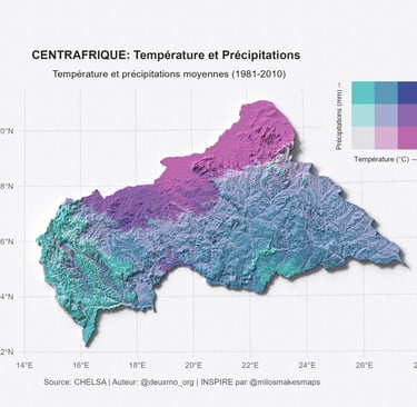
Galerie
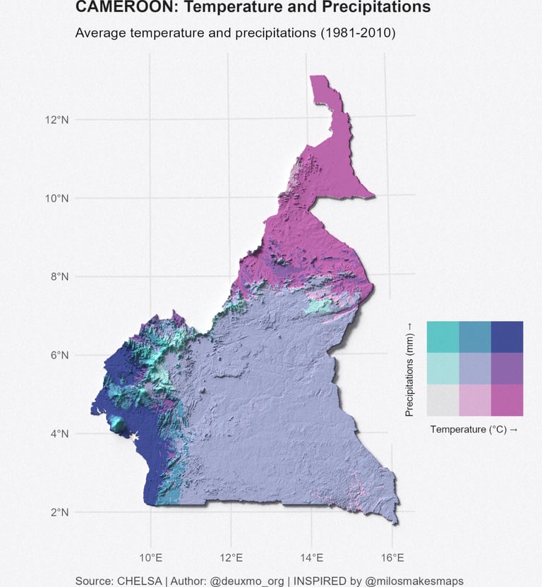
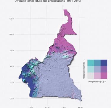
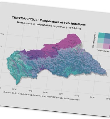
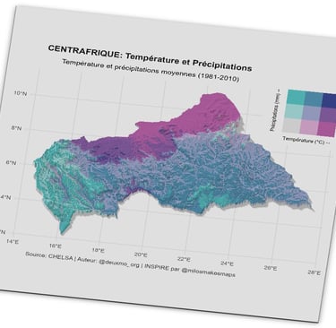
Explorez nos solutions géomatiques et stratégiques innovantes.
A propos...
DEUXMO est une entreprise des services géomatiques et d’expertises technique, spécialisée dans les domaines de l’édition cartographique professionnelle, la production de Géo-Informations et le développement d’outils de valorisation des données.
Contactez-nous pour discuter de vos projets :
Restez informes
Rue des Brasseries, Carrefour NOMENY, Dschang, Cameroun
Tél./WhatsApp : (+237) 653 53 15 39 / (+237) 640 78 96 51
Email : deuxmo@deuxmo.org // contact@deuxmo.org
Twitter : @deuxmo_org
Facebook : DEUXMO
LinkedIn : DEUXMO GEOMATICS
© DEUXMO 2025 - 2026. Tous droits reservés